B-Kode’s Matthias Demuzere, with support from the CARMINE project, has contributed to the first-ever global dataset of urban surfaces at a 1 km resolution, an important milestone toward climate resilience in metropolitan communities. The dataset, called U-Surf, was developed in collaboration with a team led by Yifan Cheng from the University of Illinois Urbana-Champaign to provide detailed information on the physical characteristics of urban areas.
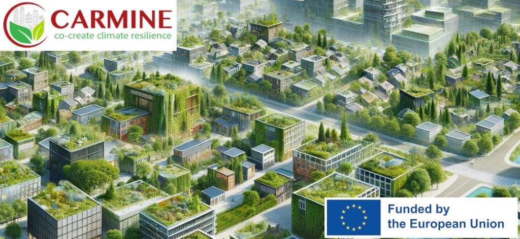
The work directly advances the objectives of the CARMINE project, an EU-funded initiative aimed at improving climate adaptation strategies in urban areas by strengthening risk assessments, early warning systems, and local planning. Metropolitan regions face the highest exposure and vulnerability to climate impacts, making accurate climate and weather models necessary to inform effective risk management. As a partner, B-Kode is actively involved in the integration of multi-scale climate physical risk assessment models where specific urban input data is essential.
U-Surf marks an important step forward in the representation of urban areas in climate and Earth system modeling. By using remote sensing, machine learning, and cloud computing, U-Surf collects important data about city surfaces, such as how they reflect or absorb sunlight, their shapes and structures, and how they store heat. All of these characteristics support better evidence-based planning for critical climate change challenges: urban heat islands, energy fluxes, and air pollution. The consistency of the U-Surf method also means that it can be used to compare cities across the globe. In this way, U-Surf not only advances global climate modeling but also provides a foundation for broader applications in public health and socioeconomic contexts. As part of CARMINE’s larger mission, it represents major progress toward data-driven, actionable solutions for building more climate-resilient urban areas.
For more information see the recent publication: https://lnkd.in/ekStg-YA
To visit the dataset: https://lnkd.in/ehqPzg-6
Interactive Google Earth Engine app: https://lnkd.in/engz5p4c