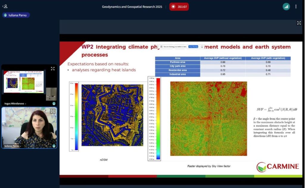
On June 12, 2025, the National Center for Cartography (CNC) participated in the International Scientific Conference “Geodynamics and Geospatial Research,” hosted by the University of Latvia. Iuliana Pârvu represented CNC, highlighting the organization’s important contributions to the CARMINE project, where they play a key role in climate risk assessments, socio-economic vulnerability evaluations, and the creation of a 3D building model. The presentation underscored the progress made on evidence-based solutions for pressing urban climate challenges.
CNC contributes to the Romanian case study located in the Brașov metropolitan area, a dynamic region in the center of the country surrounded by the Carpathian mountain range. In her presentation, “Fostering Resilience to Climate Change – Carmine Project,” Pârvu shared the results of flood risk assessments carried out using high-resolution geospatial and meteorological data. The assessments tested four different flooding scenarios using a precise Digital Terrain Model. The outputs included flood maps for each scenario, statistical data organized by land use (residential, industrial, agricultural, etc.), as well as key insights into the most vulnerable urban and rural zones. Notably, the analysis revealed the most severe effects from flooding were in agricultural areas when water rose by 3 meters. These findings highlight the urgent need for effective flood management and strategic land-use planning in the Brașov region to protect agricultural productivity and conserve natural areas.
CNC also shared their 3D building model developed using high-resolution orthophotos to support more detailed risk analysis in their simulations. Combined with the meteorological data, the model allows for more precise identification of high-risk zones, water flow routes, and green infrastructure.
The tools work to improve emergency decision-making during extreme weather events, reducing risk to critical infrastructure and vulnerable populations. They also aid in incorporating nature-based solutions into planning, strengthening investment in sustainable solutions to climate change. The presentation was the chance to demonstrate these important CARMINE results to scientific stakeholders on the global stage, keeping momentum going on actionable climate adaptation measures.